

Cabo Fisterra is a headland in Galicia, Spain, known for its lighthouse, Atlantic views and links to the Fisterra-Muxía Camino. You can reach the lighthouse from Fisterra on foot, by car or by bus, and the route also passes the Romanesque church of Santa María das Areas.
- Location: Fisterra municipality, A Coruña, Galicia.
- From town: The lighthouse road is described as 3 km from the town centre.
- Lighthouse: Built in 1853, it stands 138 metres above sea level.
How do you get from Fisterra to Cabo Fisterra?
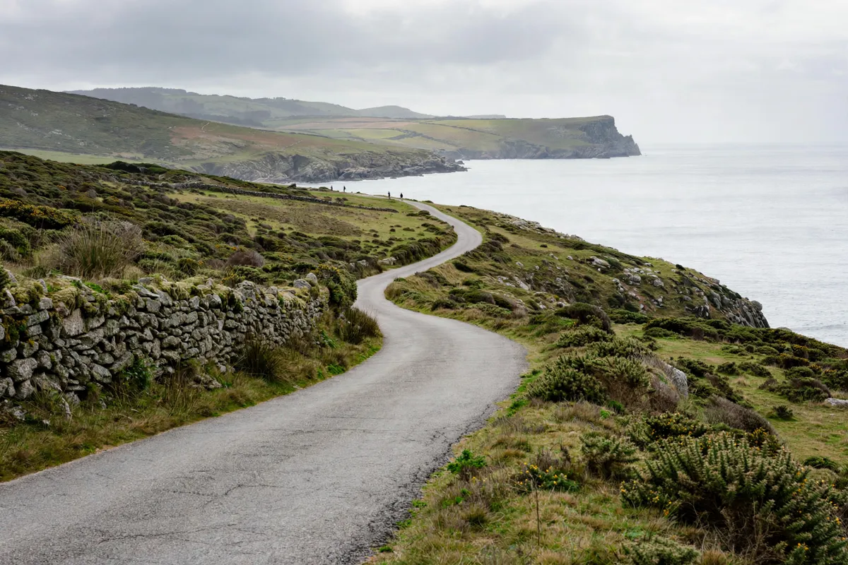
You can travel from Fisterra to the lighthouse area on foot, by car or by bus. From the town centre, the road to the lighthouse is 3 km; Turismo de Galicia describes the C-550 as a direct, well-signposted drive.
For a walking approach, the route described by Turismo de Galicia begins beside Santa María das Areas. This Romanesque church preserves the image known as Santo Cristo da Barba Dourada. The Camino route linking Fisterra and Muxía is also associated with the cape.
From Hotel Áncora Finisterre, the cape is about 45 minutes on foot or 6 minutes by car. If you’re planning a longer walk through town as part of the same outing, a one-day walking route through Finisterre can help you connect the town’s sights with the approach to the cape.
What can you see at Cabo Fisterra?
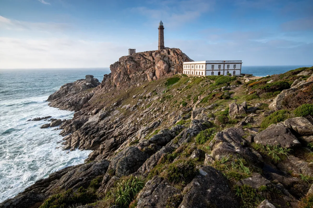
The lighthouse and the exposed coastline are the main landmarks at Cabo Fisterra, with broad views across the surrounding shores.
The lighthouse was built in 1853 and stands 138 metres above sea level. Its complex includes an octagonal tower and a keeper’s house, alongside Plaza de la República Argentina, a square dedicated to General San Martín. Turismo de Galicia describes it as the westernmost lighthouse in Europe, and says its light reaches up to 65 km.
From the cape, views extend over the Corcubión Ría, the Carnota coast and the granite mountains of O Pindo. The municipal cemetery designed by architect César Portela is another nearby place to visit from the lighthouse area.
On the upper slopes of Monte Facho are the remains of the hermitage of San Guillermo. The nearby site called Cama de San Guillermo is a human-sized hollow excavated in the rock.
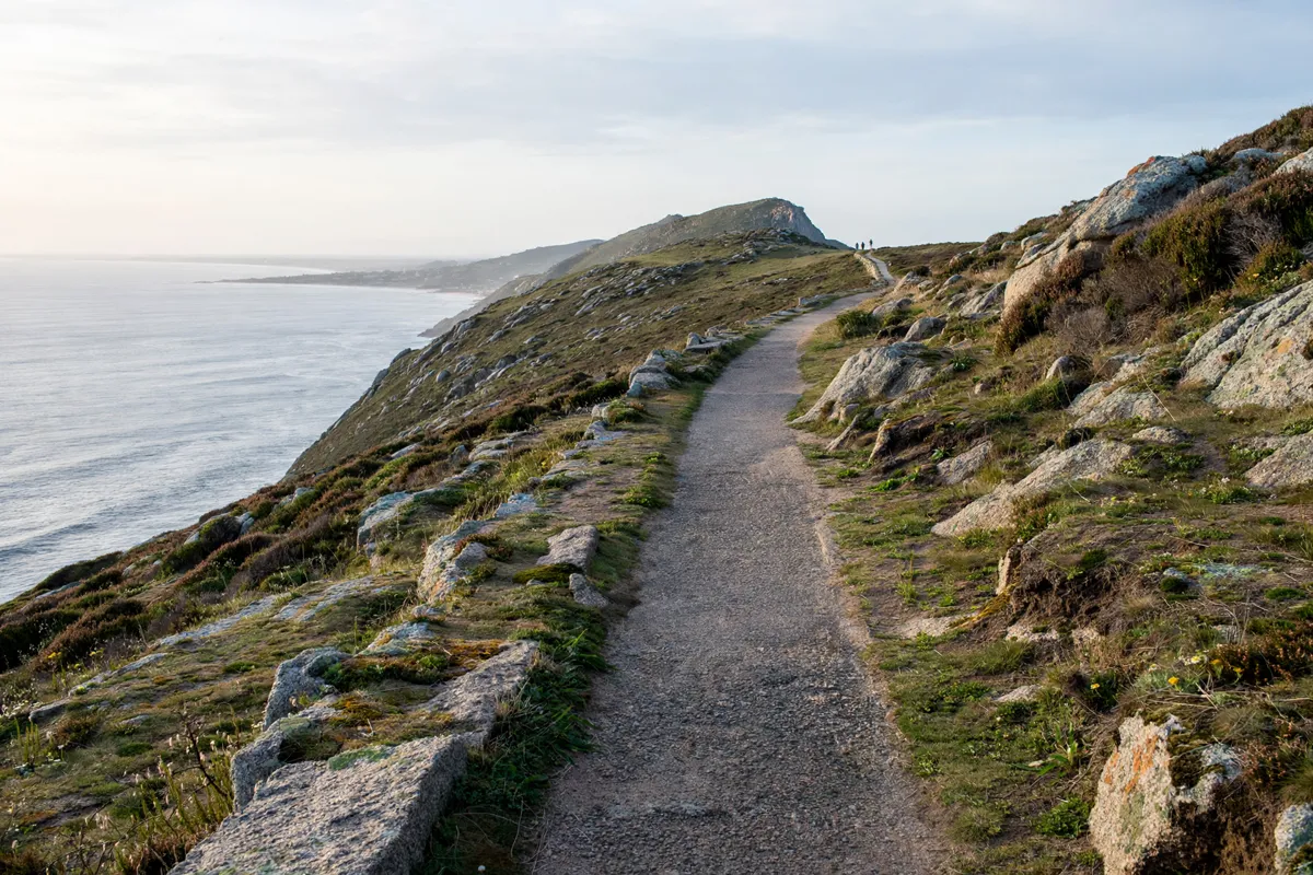
Walking or driving to the lighthouse area
The lighthouse area is accessible by car, bus or on foot, so you can choose between a direct road journey and a longer approach through the landscape.
If you drive, follow the C-550 from Fisterra; it leads directly to the lighthouse and is well signposted. The lighthouse road is 3 km from the town centre. On foot, you can start by Santa María das Areas and continue toward the cape along the route associated with the Fisterra-Muxía Camino.
For a coastal walk near town, Mar de Fóra is another outing to consider; the guide to Mar de Fóra Beach covers its access and conditions.
Coastal conditions and visitor safety
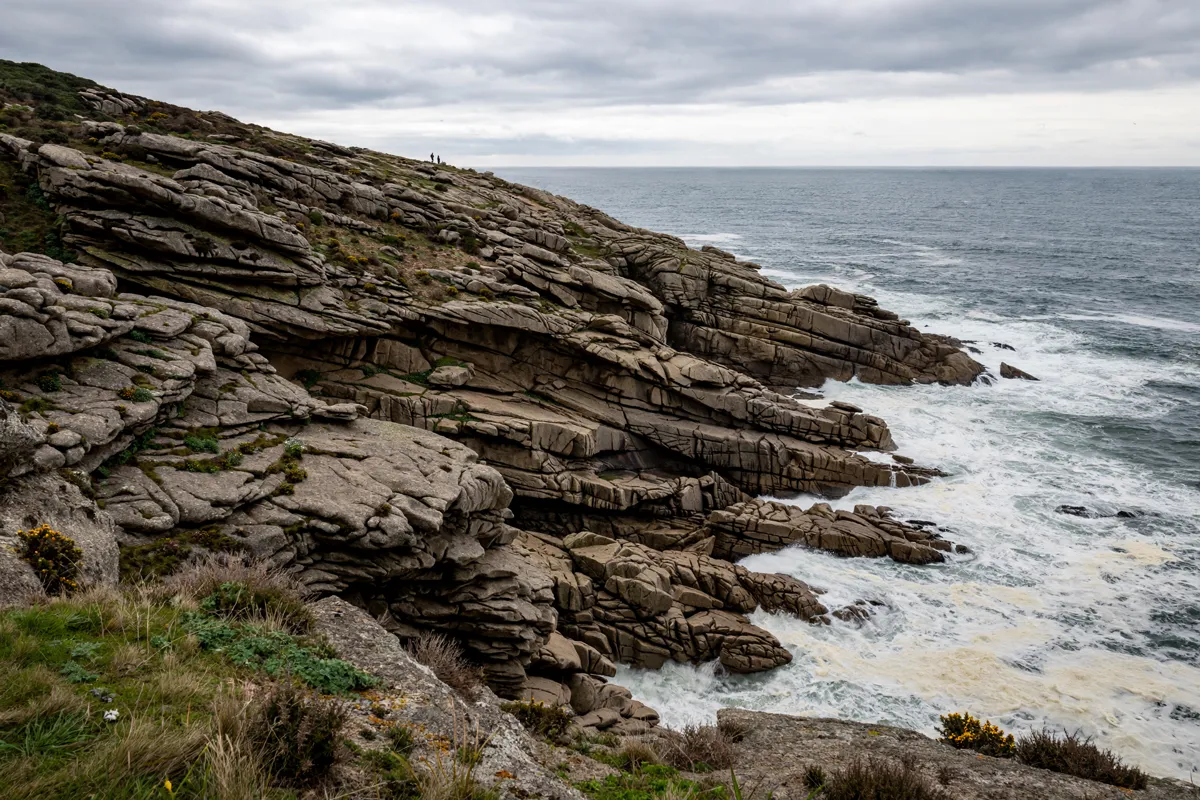
Cabo Fisterra is an exposed coastal area, with cliffs, dunes and an important bird community.
The western coast forms part of the Costa da Morte Natura 2000 protected site. Plant life grows on the cliffs and dunes, so keep to the established route and take care around exposed edges. The headland’s landscape is part of a broader protected coastline; this overview of ZEC Costa da Morte explains the protected area.
Planning a visit from Finisterre
Plan the visit around the approach you prefer: take the C-550 for a direct drive, or start by Santa María das Areas for the walking route toward the lighthouse.
Allow time to see the lighthouse complex and look out across the Corcubión Ría, the Carnota coast and O Pindo. You can add the cemetery or the upper slopes of Monte Facho to your plans if you want to see more of the surrounding area. Before setting out, check the official site before you go.
For a visitor planning a visit from town, a hotel in Cabo Finisterre places the cape within reach on foot or by car.
FAQs
Where is Cabo Fisterra?
Cabo Fisterra is in the parish of Fisterra (Santa María), in the municipality of Fisterra, A Coruña, Galicia.
Can you drive to the Faro de Fisterra?
Yes. The C-550 from Fisterra leads directly to the lighthouse and is well signposted. The lighthouse can also be reached on foot or by bus.
When was the lighthouse built?
The Cape Fisterra lighthouse was built in 1853. It stands 138 metres above sea level.