

ZEC Costa da Morte is a marine and terrestrial conservation area in Galicia’s Natura 2000 network, stretching along an exposed section of coast that reaches Fisterra. Its protected landscapes include wetlands, dunes, cliffs and rocky shores, so official maps are useful for understanding the area before you plan a coastal outing.
From Hotel Áncora Finisterre, the site is about a 49-minute walk or a 6-minute drive; the hotel offers a one-star hotel stay.
- Location: Galicia, from Arteixo to Fisterra.
- Site code: ES1110005.
- Protected area: 11,880.74 hectares, including marine and terrestrial areas.
- Planning: the Xunta provides downloadable information and official Natura 2000 cartography.
What does ZEC Costa da Morte mean?
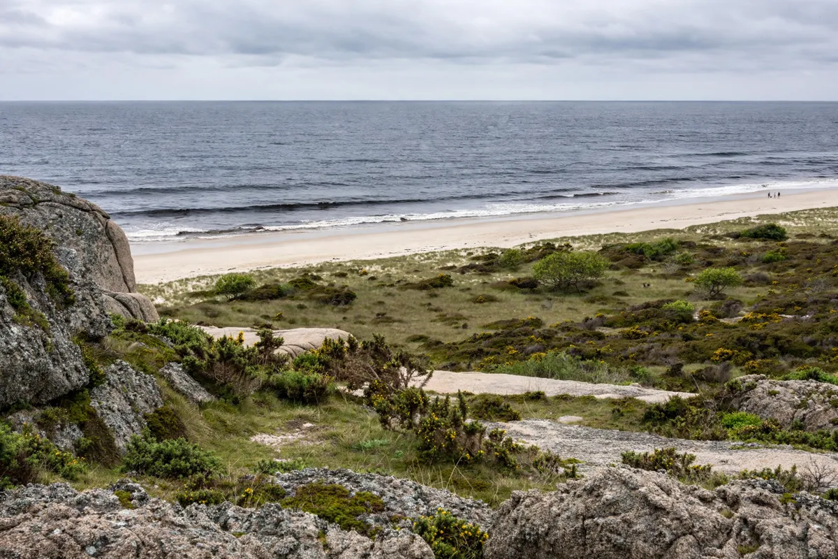
ZEC Costa da Morte is a Special Area of Conservation in the Atlantic biogeographic region of the Natura 2000 network. The site was declared a Site of Community Importance in 2004 and a Special Area of Conservation in 2014.
Its site code is ES1110005. The Xunta identifies the Plan Director da Rede Natura 2000, approved through Decreto 37/2014, as the planning instrument for the area. The Xunta’s Natura 2000 page also provides information about the site’s Annex I habitats and downloadable material about the protected area.
Where does the protected coast reach near Finisterre?
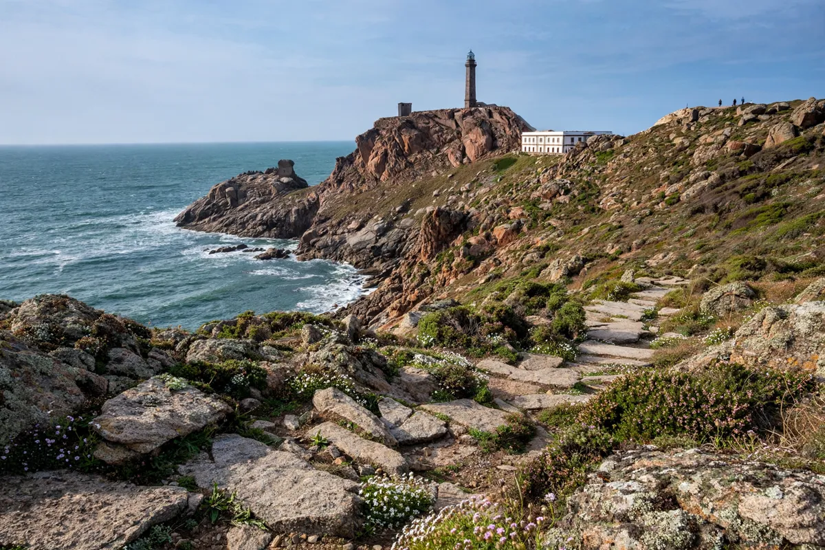
The protected coastline extends to Fisterra, but the local portion is a narrow strip rather than a single compact viewpoint or reserve entrance. Fisterra’s council describes it as running from the north end of Praia do Rostro to the inland coast of the Fisterra peninsula near Praia de Corbeiro.
On Fisterra municipal land, the site covers 675.46 hectares, with approximately 3,505 hectares in nearby waters. Across its wider reach, the national biodiversity inventory describes an exposed coastal stretch that includes the Baldaio marshes, Sisargas Islands, A Insua inlet, Traba lagoon, Cape Vilán and Cape Fisterra.
For a closer look at the cape’s local landmarks and access, the Cabo Fisterra visitor guide covers getting there and what to see. The broader protected area also reaches well beyond the peninsula, extending from Arteixo to Fisterra.
Which habitats and wildlife are notable?
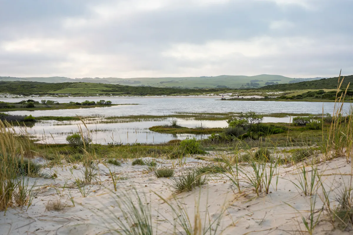
Wetlands, dunes and sea cliffs are among the habitats that give the protected coastline its variety. The national biodiversity inventory describes the Traba lagoon and its associated dune system as being in very good conservation condition.
The Xunta’s tourism listing also highlights Traba lagoon and the rocky formations of Penedos de Pasarela e Traba as natural features in the area; Penedos de Pasarela e Traba is a Protected Landscape.
Wildlife sites include both wetlands and offshore cliffs. Baldaio marshes and A Insua inlet support wintering waterbirds. The cliffs of the Sisargas Islands and Cape Vilán hold almost all of Spain’s colonies of Black-legged Kittiwake and Common Guillemot, while the Sisargas Islands host Spain’s principal colony of Lesser Black-backed Gull.
How can you approach the coast responsibly?
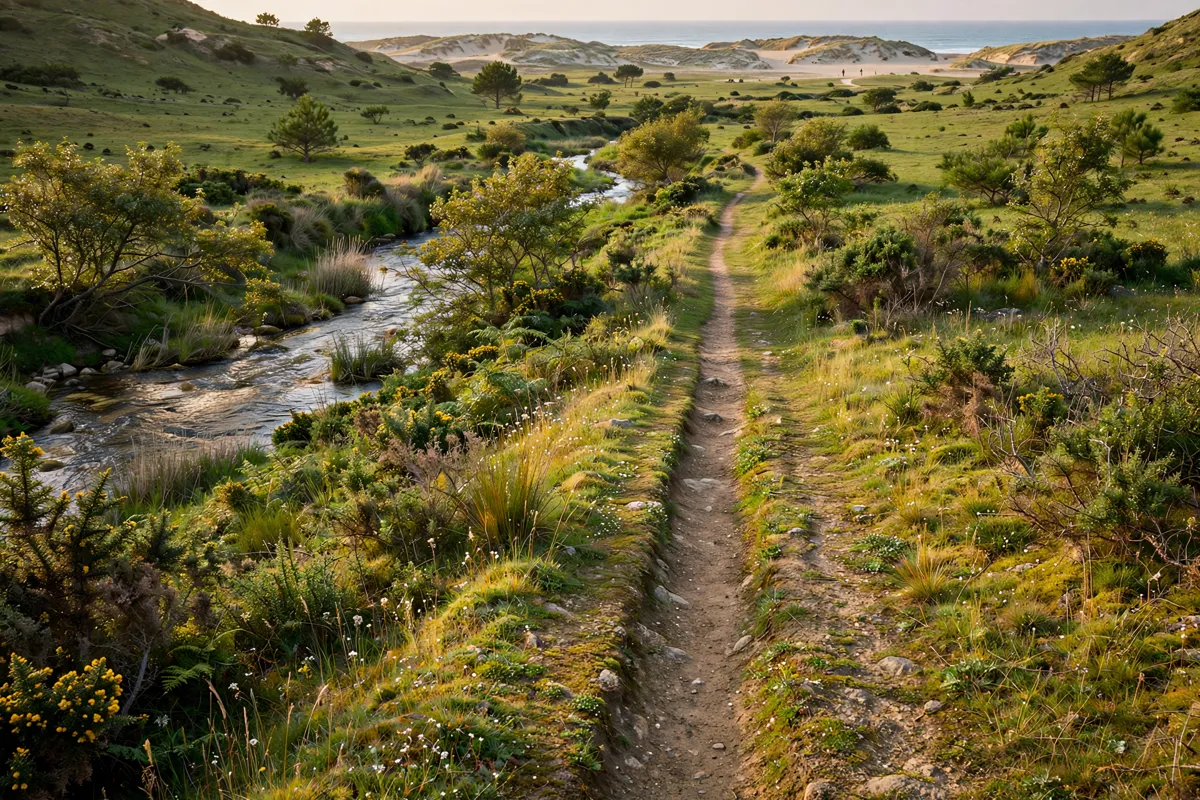
Access arrangements can help protect the same habitats that make this coastline significant. At Barrañán beach in Arteixo, wooden walkways allow beach use while protecting the dune environment. Behind the dunes, a pedestrian trail follows the Sisalde river valley.
These examples show why it is worth paying attention to designated routes and access features when choosing where to walk. If you are considering the local shoreline, the Mar de Fóra Beach guide covers access and visit conditions.
For a longer walk through the area, a one-day route through Finisterre offers another way to connect coastal stops.
How do you use official maps to plan a coastal outing?
Use the official boundary map to see which parts of the coastline fall within the protected site, then match the map to the local access details for the place you intend to visit.
The Xunta published official Natura 2000 boundary cartography for ZEC Costa da Morte; its map labels the site “ZEC ES1110005 Costa da Morte” and uses the UTM Zone 29 projection with ETRS89 datum. The scale bar is marked at 0, 2.5, 5 and 10 kilometres.
The map shows the protected boundary, not a walking route. Combine it with local information when planning access to a beach, lagoon or coastal path. Before setting out, check the Xunta’s official site for current mapping and site information.
FAQs
Is ZEC Costa da Morte only a land-based protected area?
No. The protected area includes both marine and terrestrial areas and covers 11,880.74 hectares.
Does the protected area include Fisterra?
Yes. The Natura 2000 site reaches Fisterra, where the local protected strip runs from the north end of Praia do Rostro to the inland coast near Praia de Corbeiro.
Which natural features are associated with the site?
Notable features include Traba lagoon and its dune system, the Sisargas Islands, Cape Vilán and Cape Fisterra, as well as the rocky formations of Penedos de Pasarela e Traba.
Where can you find official boundary information?
The Xunta provides Natura 2000 information and downloadable material, including official boundary cartography for the site.